Since 1948 hardy folks in Bergen have arranged a seven-mountain hike spanning the seven mountains that flank Bergen. At first, this was a bi-annual event, which switched to an annual event in 1963. It started with 206 people, and today several thousand people, young and old, participate in what’s become the major outdoor event in Bergen on the last day in May. Over the years there have been on-going disputes as to which seven mountains qualify; at the start this included a mountain on Askøy, the large island just outside Bergen. Today, no ferry ride or bridge crossing is required, and the seven mountains remain on the mainland.
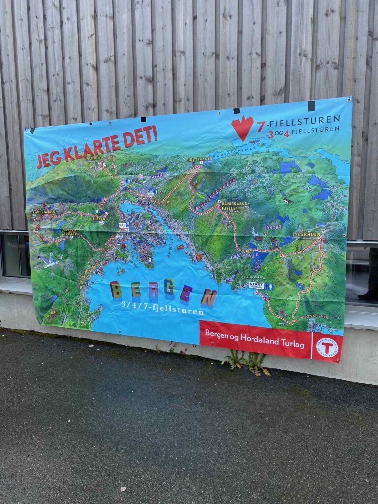
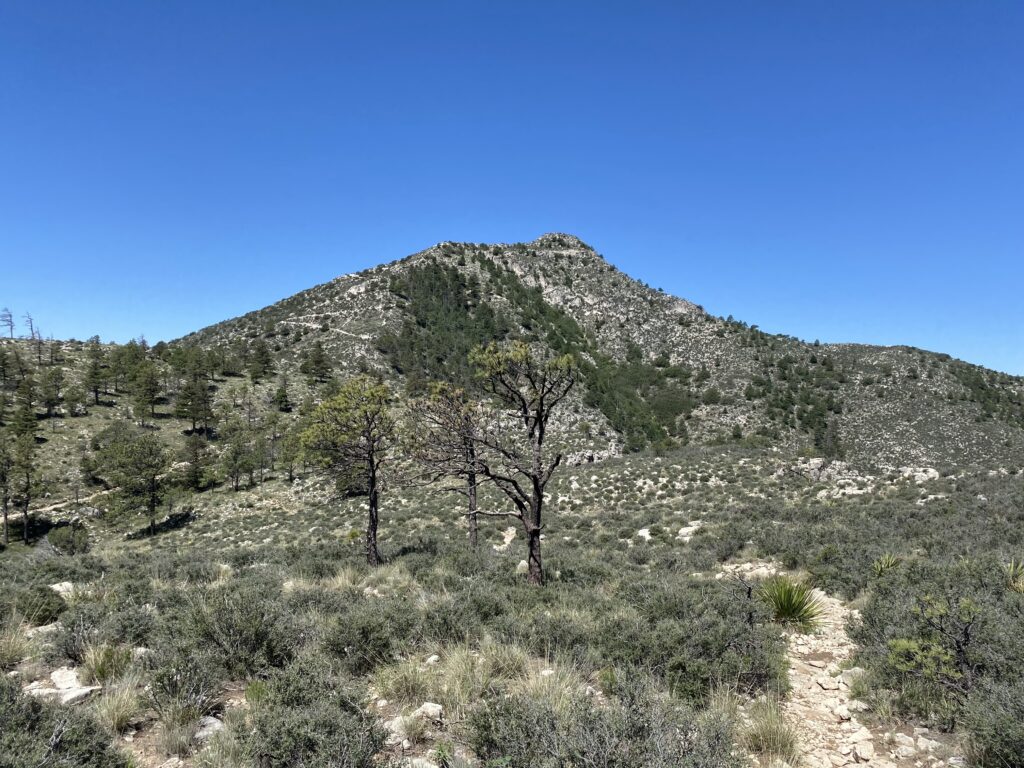
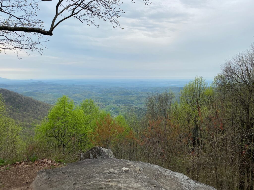
Covering more than 23 miles, with over 8,000 feet of elevation gain (more than Mount Whitney!), this mad adventure draws out thousands of people every year. The time to cover this distance is advertised as taking on average 10-12 hours. Hikers start on the west side of Bergen, crossing the three peaks there — Lyderhorn, Damsgaard, and Løvstaken. After descending the third peak, hikers walk across the southern part of the city and begin the big ascent up a trail that corkscrews around the souther side of Ulriken, the tallest of the mountains surrounding Bergen, at 643 meters (2,110 feet) above sea level. At this peak, you’re supposedly at the halfway point. If you’ve made it this far, your legs are burning, you’re exhausted, and probably wondering why you started this event in the first place.
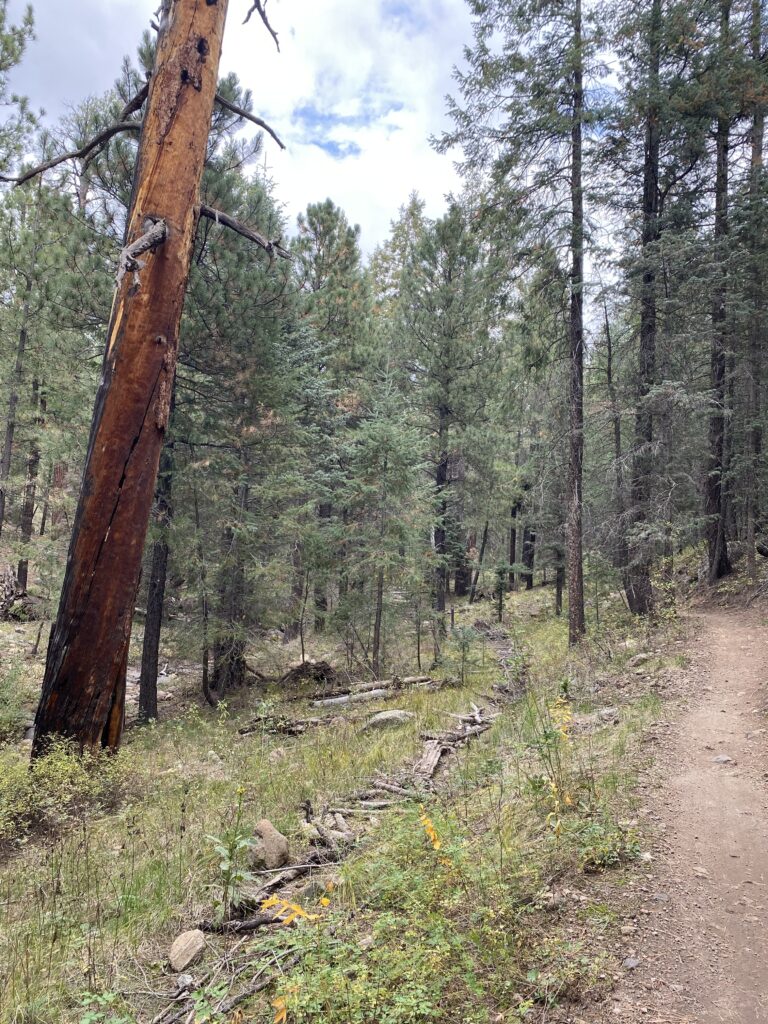
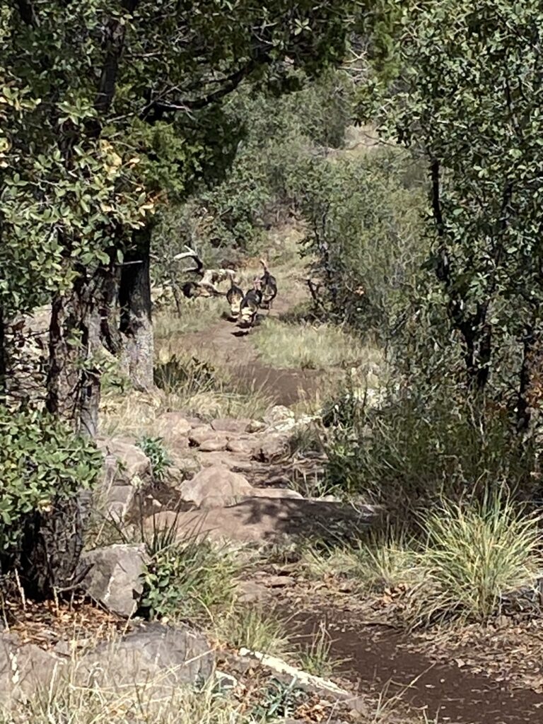
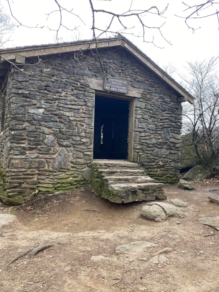
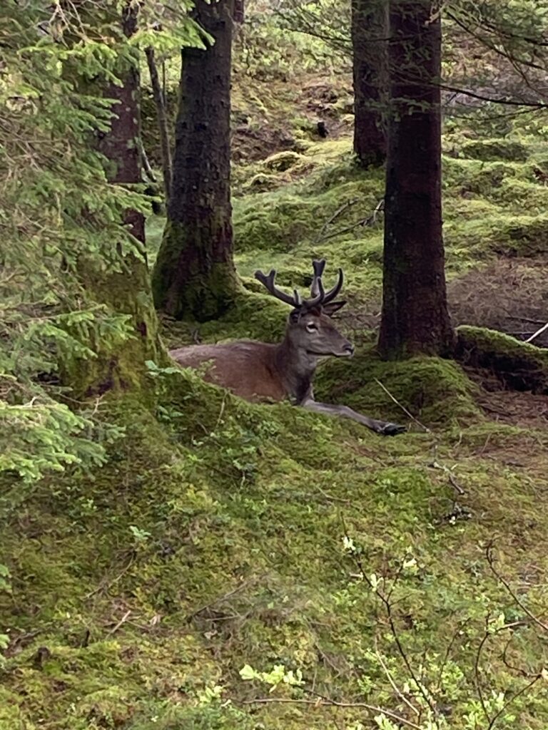
The descent down Ulriken takes you down over 2,000 stone steps. These steps were laid just a few years ago by hired sherpas. On your way down you’ll encounter a few hardy people walking up the steps. At the bottom, your legs are shaking, your quads burning, and your knees shot. Four mountains have been completed, but more lies ahead. The walk from Ulriken to the next mountain in this series takes you through neighborhoods, past houses clinging to the mountainside. Although it takes place mostly on a paved or gravel surface, the ascent is steep and winding. There’s a brief respite near the top, and then a more gradual ascent through the forested, and by now well-populated with visitors, indicators of Bergen’s most famous and most visited mountain. What’s surprising is to come across an elk just a few feet off the path, indifferent to gawking children.
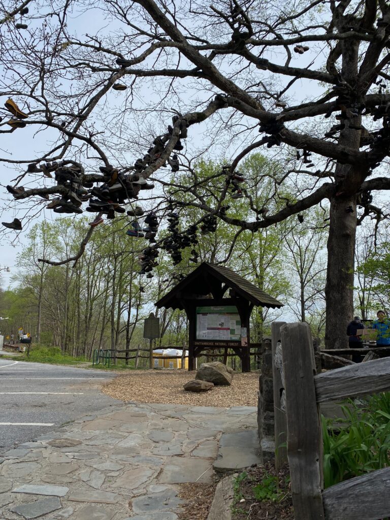
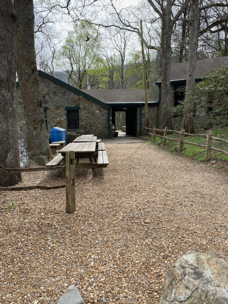
Once at the top of Fløyen, you’re greeted with volunteers (these are scattered throughout the hike) who hand you a cinnamon bun. Energized once more, you soldier onward. From here there are only two mountains left, Rundemannen and Sandviksfjellet. The last one doesn’t require much of an ascent. In fact, it’s almost all downhill. However, it makes up for that fact with it’s twisted and rocky route, which at times follows mountain streams. At last, back on gravel trails, you might think the worst if over. That’s not the case. For the second to last stretch you step off that gravel road and descend down Skredderdalen, a rocky and muddy path that alternates between brief pleasant moments and ankle-punishing rocks. When you emerge from this path at the bottom, you’re now on Fjellveien. There’s still two miles or so left to go, but most of this goes along gradual rises and falls until you get closer to downtown. Then, just when you think your knees could not handle more punishment, there are more stairs. These are far easier than the ones on Ulriken, and you can almost sense the end of the journey.
In 2023 I hiked this seven-mountain trail with my son. It took us 14 hours, and for several days after the hike my quads were so stiff and sore that I could only walk sideways down stairs. It was a humbling experience, at least for someone who’d hiked these mountains as a teenager and in my early twenties. Still, back then I only hiked one to three at a time, not seven. And, for many years I’d been living in a place with no mountains like this, and thus no means to train for such a hike.
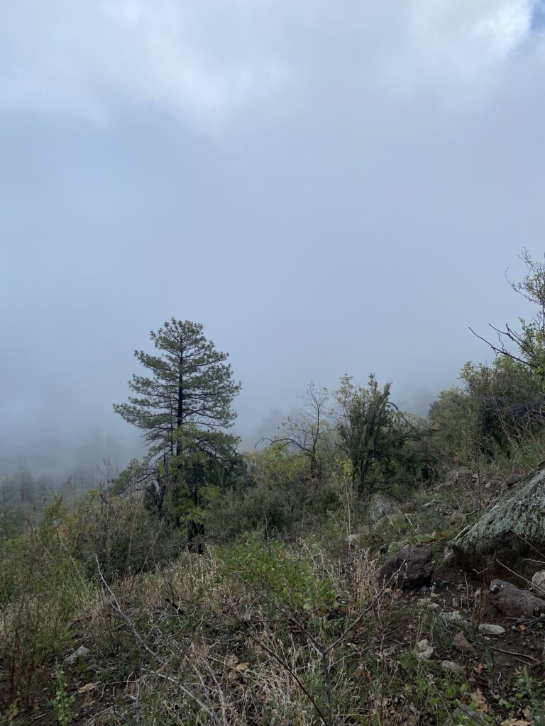
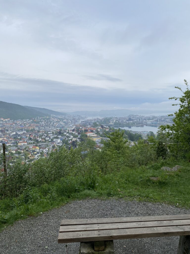
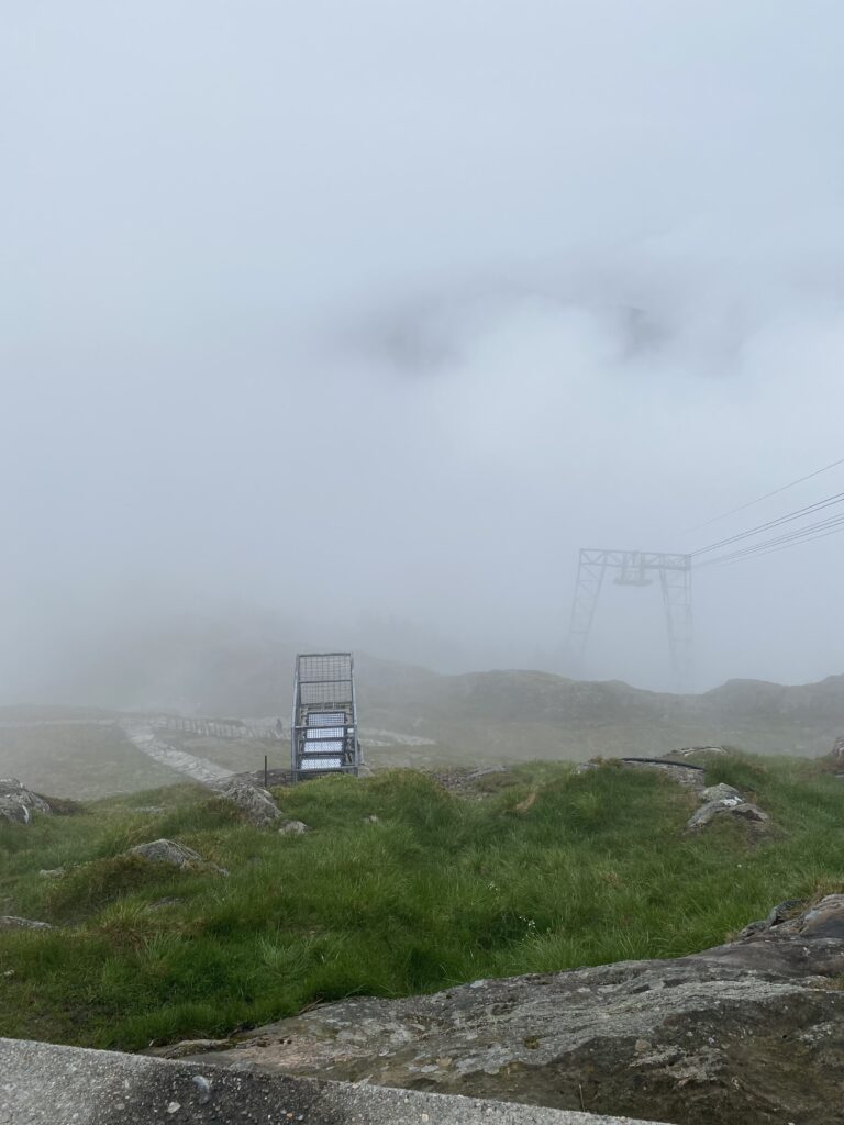
In May 2026 I was back in Norway, signed up for the hike once more. This time, however, due to a back injury earlier in the year, I went for the four-mountain hike, skipping the first three. My son, who is determined to complete the hike 14 times, headed to the start of the full seven via bus, as I rode the light rail to the start of the last four. The weather was far from ideal, somewhat damp and chilly. However, as I started the steep ascent up Uliken, I had to remove a layer. Even with the rain, I was sweating through my base layer even before I reached the winding path upward. I took frequent breaks to look back the way I came. The city of Bergen was shrouded in clouds. Various hikers passed me, but I was in no hurry, at least at this point. The trail became muddy and slick. As I reached the top I saw familiar landmarks just below the main mast and cable-car building. Descending the steps seemed to take forever, but unlike the last time, my legs could actually handle the descent, although I was quite happy when I reached the main road once more.
At the top of Rundemannen, after walking past countless people on the trails from Fløyen, there was some refreshing juice provided by volunteers. Then it was into the clouds once more, before the confusing and convoluted trail across Sandviksfjellet. Getting down this last part to the final checkpoint was challenging, as I had to pass many hikers, while also trying to let multiple trail runners get around me. From the final checkpoint there’s one final tricky path to navigate, though at some point after 2023 much of this section had been improved. I completed the four-mountain hike in just over six hours, despite having to backtrack after three wrong turns due to poor signage on the course. Compared to the full seven back in 2023, it’s amazing to think that it took more than twice the time to cover the full seven then, than it did to just cover four. I do think those first three are tougher than they appear, and by the time you make it over them you’re already humbled and fatigued well before you cross the city. My son did shave an hour from our last time, despite the bad weather. The rain certainly made things tough, as the trail was wet, muddy, and tricky on certain descents.
Would I do it again? Yes, but probably I’ll just stick to the last four. I don’t plan on 14 hikes, or even seven, but I’ll admit that even as tough as it was, going up Ulriken or down Sandviksfjellet are the best parts, as those parts are (mostly) on actual trails. So, if you’re in Bergen on the last weekend in May, and if you like hiking, give it a go.