This was our second acclimation hike prior to attempting Mount Whitney, and our introduction to the trail toward the summit. The first three miles of the trail are open to the public. But, shortly thereafter you cross into the Whitney Zone, where you need a permit. We had secured a permit for August 5th, and so two days prior we hiked up the trail to Lone Pine Lake, just outside the Whitney Zone. To get to the trailhead from Long Pine, you drive ca. 30 minutes up a winding road into the mountains. Our GPS decided we needed a tour of the camp site first, and so we ended up slowly winding our way through that location before continuing upward. There was no parking near the trailhead, as we arrived in the middle of the day on a Saturday. We ended up parking as the second to last car in a long line of cars along the road, roughly a quarter of a mile from the trailhead.
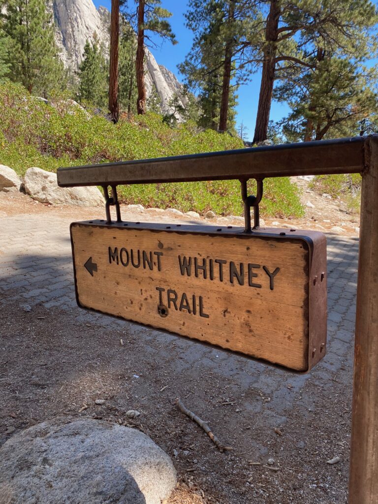
We walked up the road, then found the trailhead. This was our initiation to the many switchbacks up the Whitney trail. It was a warm day, middle of summer, and the sun beat down on us. Along the trail we encountered a large group of backpackers, possible heading to Trail Camp with plans to summit the following day, possibly starting along the John Muir Trail from Whitney. We forgot to ask, even as we leapfrogged each other a few times. We did pause to ask a couple heading downhill about the ideal time to start, and they suggested 10pm, which would let us cross into the Zone around midnight. That became our plan.
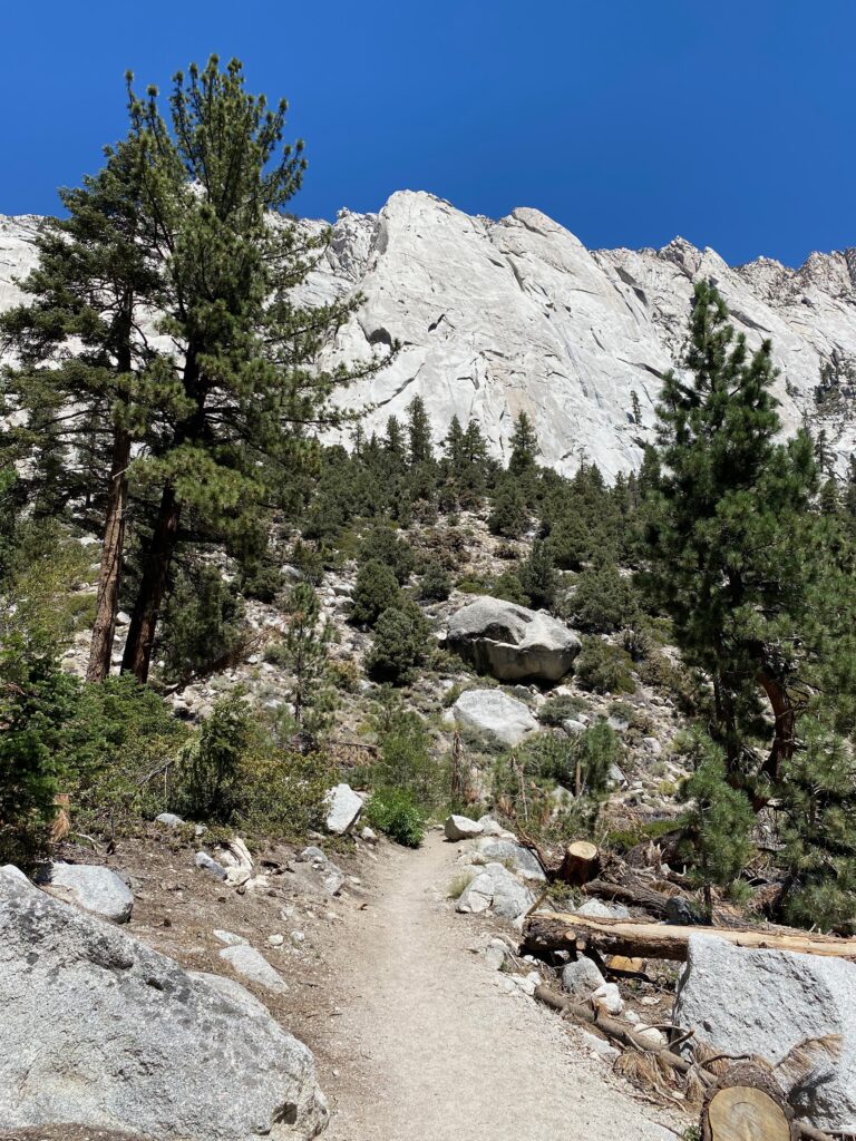
Ahead of us towered the mountains. The path was dusty, with three creek crossings, each wider than the last. After a mile or so, we passed a side trail going straight up a hill, which takes you to the Mountaineering Route to Mount Whitney. Few people probably use this trail during the summer. The most interesting feature for hikers might be the log crossing, where multiple flat logs lead you across a wide creek. Some of the logs need to be replaced, but we made it across. Shortly afterward we came to the intersection leading to either the Whitney Zone or Lone Pine Lake. We turned left and walked downhill to the lake.
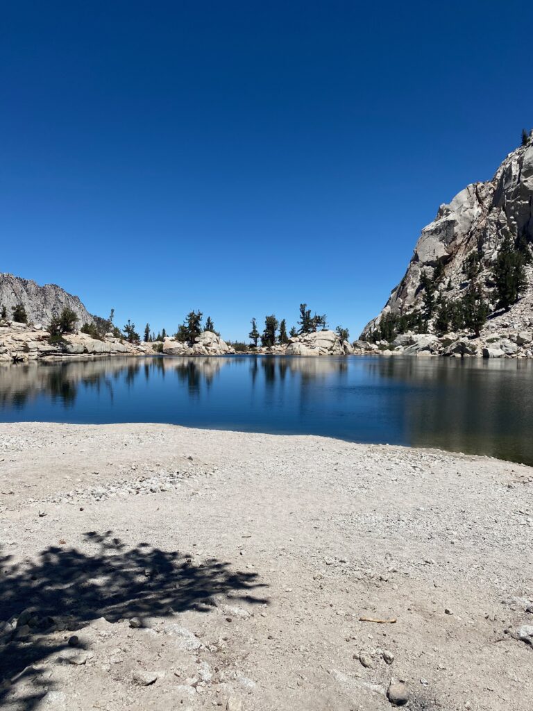
Several people were hanging out by the lake. Some actually went swimming in the water, and a couple tried their hand at fishing. I think they gave up quite quickly, and went back to lounging by the water’s edge. After a short break for lunch, we headed back up the short hill, then down the trail again. With less than a mile left, we met a person heading uphill who asked us if we’d seen a cell phone. We had not, and continued to the trailhead. After a break near the store to drink a well-deserved cold soda, we headed back to the car. Not far from where we’d sat drinking out sodas, we saw the same person again. He and his wife asked if we could give them a lift to Lone Pine. They’d just finished the John Muir Trail from the north, covering the distance in 19 days. We said sure, and dropped them off in town, where I think they were planning to celebrate their journey with friends, and possibly some bottles of wine.
At this point we still felt confident about the Whitney hike. We’d be returning the next day, but around 10pm, when it would be pitch black, to begin the actual hike to the summit. We’d covered the three miles to near the Whitney Zone with no issues, so we figured it would take us maybe an hour and half the following day. Now it was time to rest, and maybe get a pizza to celebrate stepping onto the Whitney Trail.