Three down, 47 to go. Once you start, it’s hard to stop. Having summited the tallest peak in Texas (Guadalupe Peak), and California (Mount Whitney), the latter of which also is the tallest peak in the lower 48 states, the temptation now becomes to attempt summiting the tallest peak in all 50 states, or at least the lower 48.
So it was the case when I flew into Phoenix, Arizona, after many delays, looking to bag that state’s peak. Well after midnight I drove to Prescott to meet my son later that morning, before we headed to Flagstaff and the trailhead to Humphreys Peak. With multiple delays, and an early start, I was operating on just three hours of sleep, plus a late start (9am, far from ideal when heading to a place over 12,000 feet above sea level). Still, I’m in awe of the nature in northern Arizona; this isn’t my first trip here, but the nature never ceases to surprise me with what’s available in the high desert.
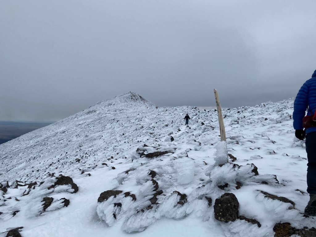
My weather report on the conditions for the peak apparently was severely outdated. I’d left the micro-spikes at home, only to learn a couple miles into the hike that there was a fair amount of snow and ice to deal with the last two miles. This bit of information was gleaned from another hiker who’d started at 2am, and was slowing descending many hours later. Another nugget of information, not available online, centered around the multiple blow-downs the first two and half miles through the forest. This entailed either going over massive logs, or crawling under heavy trees. We did a bit of both, but it took its toll, slowed us down, and left physical scars. I guess there were no trail crews cutting logs, or all these blow-downs were recent events. We counted at least 80 trees that covered the trail.
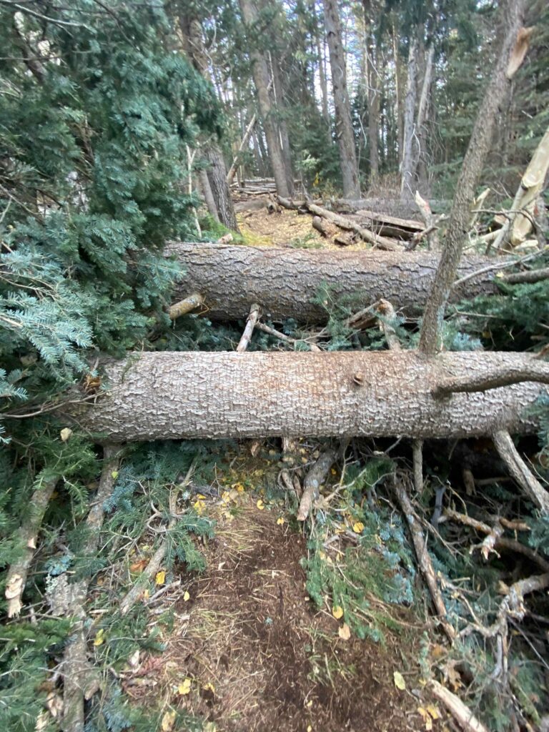
The trailhead for Humphreys Peak starts at the Arizona Snowbowl. You cross a wide open field, which during winter becomes the domain of skiers and show boarders. Fortunately, there was not a lick of snow on the ground here. After crossing that field, you enter a forest. The trail from here slowly winds its way upward. Once the blow-downs are conquered, you deal with falling snow and ice that’s accumulated on various trees. After that obstacle course, you reach an area known as “the saddle.” Here we took a break. The view was astounding, and gave no indication of what lay ahead. Many hikers turn around here. We, on the other hand, shouldered our day-packs and headed up the trail. From here, a thin layer of slushy snow covered the trail. The air was thin, and my lack of sleep and the altitude slowed me down. We met several groups that were heading down from the summit. At one point, while we were stopped to let me catch my breath, and group told us we were 45 minutes from the top. It seemed like hours away, with the various false summits we had to cover. Still, we persevered.
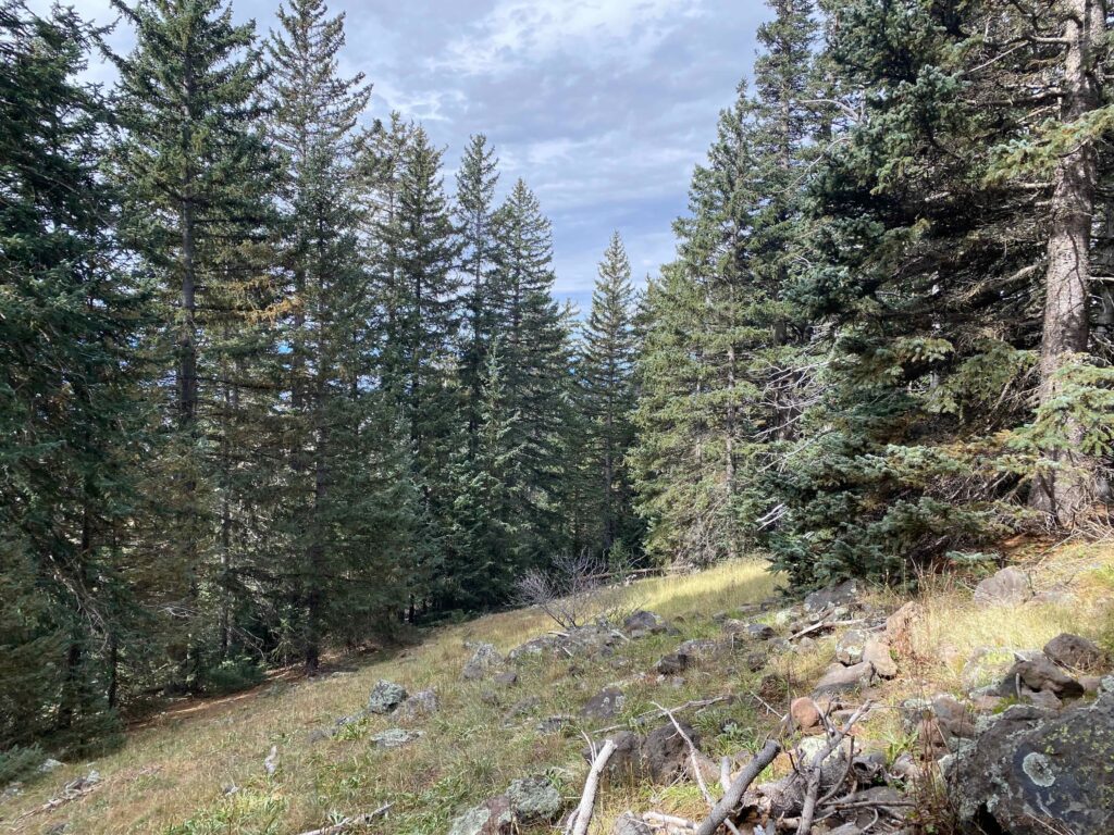
The final push to the peak is a straight uphill trek. Without a clear trail to follow, we veered to the left, and had to backtrack a bit. The summit itself that day was cold, with harsh and biting winds. I’ve seen various numbers, but I’m going with 12,633 feet above sea level as the official height of this peak. I think this make it my fifth peak above 12,000 feet, and first where I didn’t have at least some time to get used to an altitude above 800 feet.
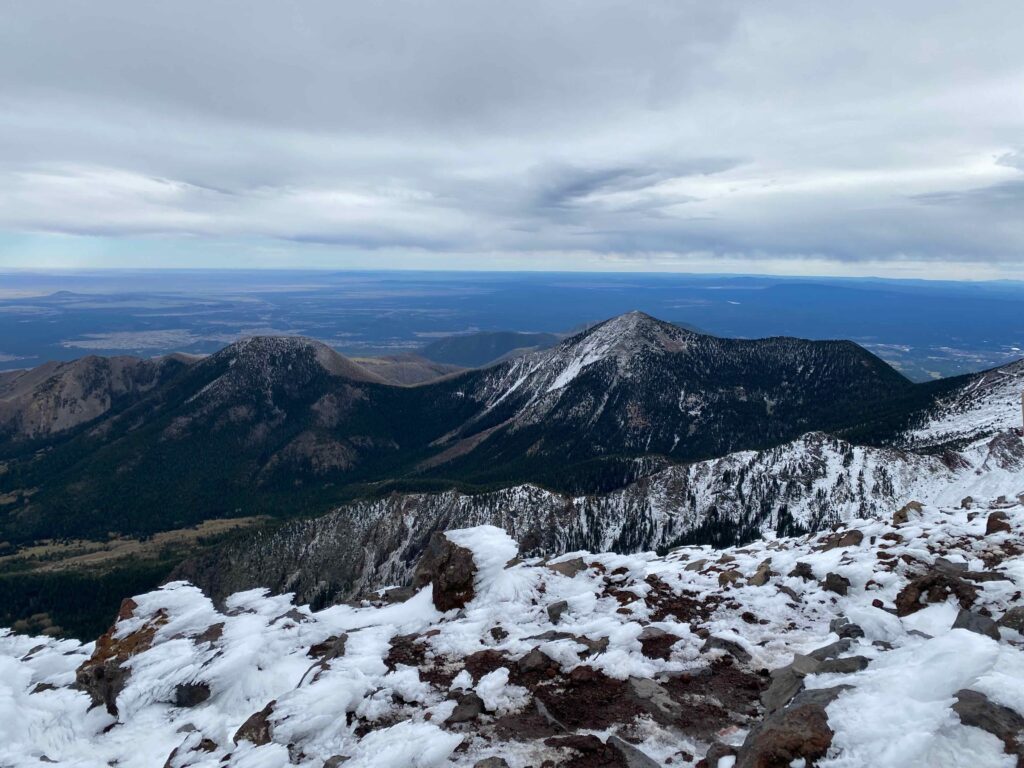
We stayed at the summit for only a few minutes, then headed back down. Once passed the saddle, we pushed the pace, until once more we were slowed by the countless blow-downs. The trail, as tracked by my GPS watch, was just over 10.6 miles out and back, starting from the lower parking lot. I confess that it was a tough one, perhaps third or fourth in terms of toughest hikes, and that was all due to the lack of acclimating to the altitude, as well as the snow and ice and all the blowdowns.
Once completed, it was a long drive back to Prescott, where two slices of pizza at the Grumpy Sicilian was more than welcome, and then a blissful shower and well-earned rest.
Now, the question is which peak to tackle next? A few of them will require a summer trip, while others are far away from Texas. I’m not sure I’ll ever tackle Denali, and those over 12,000 feet make me nervous, but I look forward to the challenge. Onward and upward!

Leave a Reply